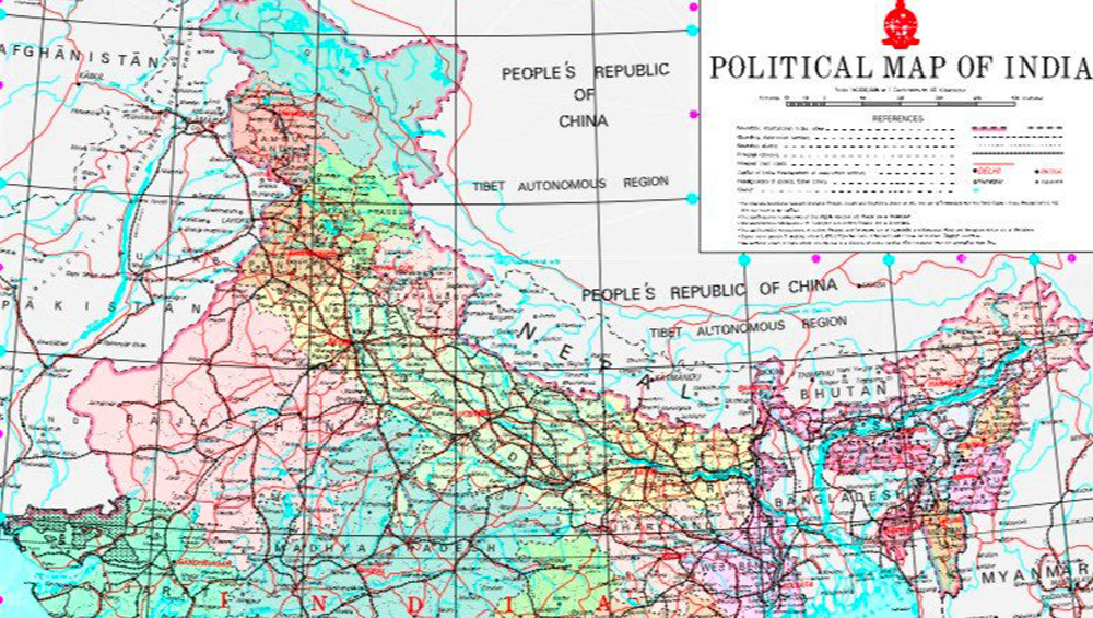
New Delhi: Indian government released the latest political map of India which includes the two new Union Territories (UT) of Jammu and Kashmir and Ladakh. The new map was also tweeted by Union Minister Jitendra Singh shows the political map of India since 31 October.
The map also includes the area known as Pakistan occupied Kashmir (PoK) as part of Indian territory.
According to the map, Ladakh consists of two districts – Kargil and Leh. While the rest of Jammu and Kashmir lies in the UT of Jammu and Kashmir.
Although, the decision to scrap Article 370 and to bifurcate the state was taken on 5 August, it officially came into being on 31 October, on the 144th birth anniversary of Sardar Vallabhbhai Patel. As the first Home Minister of India, Patel was instrumental in bringing all the princely states into the Union of India.
Now the number of States and Union Territories in India stands at 28 and 9 respectively.