Beijing: The communist Chinese government in an attempt to provoke India has released a ‘standard map’ of China, which includes Indian territories of Arunachal Pradesh and Aksai Chin. The map released on August 28 shows Indian state of Arunachal Pradesh inside Chinese territory. China claims it as South Tibet. The map also portrays Aksai Chin also as part of China.
China, which has border issues with all of its neighboring countries, has also included Taiwan and the South China Sea as part of their territory.
The map was released by China’s Ministry of Natural Resources during the Survey and Mapping Publicity Day and the National Mapping Awareness Publicity Week on Monday.
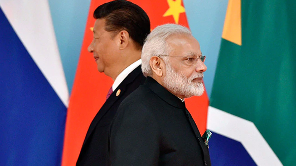
Prime Minister, Narendra Modi and Chinese President, Xi Jinping, had met on the sidelines of the BRICS Summit in South Africa.
About the leaders’ engagement in South Africa, the Indian Foreign Secretary, Vinay Kwatra, said, “The Prime Minister underlined that maintenance of peace and tranquility in the border areas and observing and respecting the LAC are essential for the normalization of India-China relationship. In this regard, two leaders agreed to direct their relevant officials to intensify efforts at expeditious disengagement and de-escalation.”
China has territorial disputes with more countries than it shares its borders with. The communist country has flouted all international norms in its expansionist bid to control more territory.


Discussion about this post