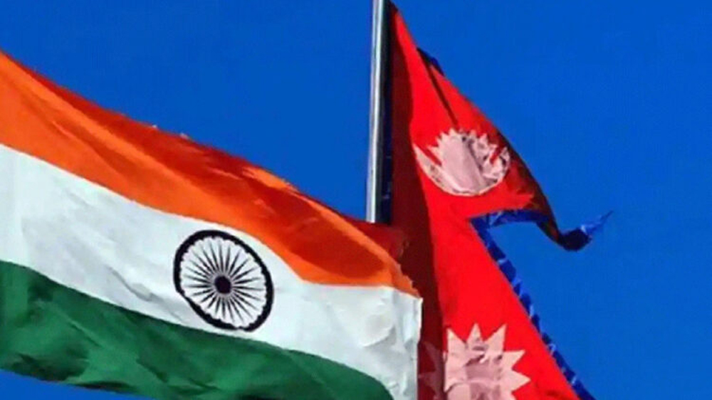
Kathmandu: Continuing its provocation, Nepal government will send its updated map to India, Google and international community by the middle of August. It is to be noted that the revised map includes Indian territories of Limpiyadhura, Lipulekh and Kalapani.
” We will be sending the updated map including Kalapni, Lipulekh and Limpiyadhura to various UN agencies and the international community including India. The process will be completed by the middle of this month,” Padma Aryal, Minister for Land Management, Cooperatives and Poverty Alleviation told ANI.
Meanwhile the Ministry has asked the Department of Measurement to print 4,000 copies of the new Nepal map in English language and send it to the international community.
The Nepal government on May 20 had released the revised political and administrative map incorporating the disputed territories of Limpiyadhura, Lipulekh and Kalapani.India has said that Nepal`s unilateral action is “not based on historical facts and evidence.”
India has been continuously opposing Nepal’s new move of including Indian territories in their revised map. India also had said that ” such artificial enlargement of territorial claims will not be accepted by India”.
At the same time, the United Nations said that it shall not back or officially endorse the new Nepal map.